Thousands of Data Layers
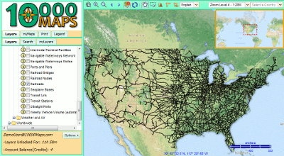
- Open Street Map
- Google Layers
- US Census Data
- USGS Topographical
- Roads Worldwide
- . . . and many more!
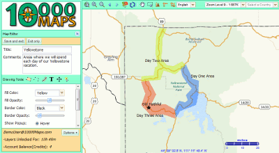
Create Your Own Maps and Layers
- Draw polygons lines and points
- Add labels and popups
- Import .kml .kmz and .gpx files
Maps are Easy to Print and Share
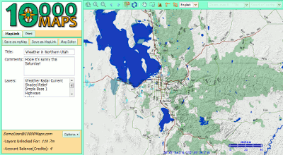
- Share maps with anyone, using MapLinks
- Save to PDF for easy printing
- Access your maps online, anytime, anywhere